Best Running Apps for Trail Running 2026
Best Running Apps for Trail Running 2026
You're ten miles into a ridge trail, cell signal is gone, and your app just stopped showing the route. Trail running demands more from your phone than road running does. You need offline maps that actually load, elevation profiles you can study before the climb, and GPS that holds a signal through tree cover.
Most general running apps fall apart out there. The best trail apps are built for remote terrain from the ground up. We compared the top options so you know exactly which tool to grab before your next adventure. Here are the 6 best apps for trail running in 2026.
Quick Answer: The best apps for trail running in 2026 are: 1) Komoot for route planning and turn-by-turn trail navigation, 2) AllTrails for the largest trail database and community conditions, 3) Gaia GPS for serious backcountry navigation, 4) onX Backcountry for expert-curated trail beta and LiDAR maps, 5) Runify for logging trail runs and competing on distance leaderboards after you're back, and 6) Strava for broad trail activity tracking and route heatmaps. Trail-native apps like Komoot and Gaia GPS handle offline navigation; Runify converts your trail miles into XP and rank the moment you sync.
1. Komoot - Best for Route Planning and Navigation
Komoot is the top pick for trail runners who plan routes before they go. It has a 4.7-star App Store rating from 5,800+ reviews, a deep community of trail-specific highlights, and turn-by-turn voice navigation that works even on unmarked singletrack. The route planner lets you specify trail running as your activity type and builds routes around trail surfaces, elevation, and difficulty.
The community-powered "Highlights" feature is where Komoot shines. Other trail runners mark hidden waterfalls, technical sections, and bail-out points directly on the map. You get local knowledge baked into the route before you ever lace up.
As our GPS tracking app breakdown notes, the apps that perform best in remote terrain are the ones with offline-first architecture. Komoot's offline maps download region by region and cache completely, so you're covered when signal drops.
Key Features
- Turn-by-turn voice navigation tuned for trail surfaces and singletrack
- Community Highlights: waypoints with photos, local tips, and hazard notes
- Downloadable offline maps by region with full detail retention
- Multi-day route planning with daily segment breakdowns
- Live location sharing with friends or emergency contacts
Pricing
Free with one region included. Additional regions are $3.99 each, or upgrade to Premium at $29.99 for the first year (then $59.99/year) for unlimited regions, advanced collections, and weather forecasts.
Best For
- Runners who plan routes in detail before heading out
- Multi-day trail adventures or point-to-point runs
- Anyone who relies on community knowledge to find good singletrack
Limitations
- No social running leaderboards or competitive rank system
- Premium pricing jumps significantly after the first year
- Recent subscription model changes have attracted some negative reviews
2. AllTrails - Best Trail Database and Community Conditions
AllTrails has the largest collection of trail-specific routes in the world, with reviews, photos, and current conditions from a massive outdoor community. If you want to find a new trail, read what others ran last weekend, and see whether the creek crossing is passable right now, AllTrails is unmatched.
For trail runners new to a region, the community trail conditions and difficulty ratings save a lot of guesswork. You can filter by distance, elevation gain, and difficulty to find runs that match where you are in training.
Key Features
- 400,000+ trails with user reviews, photos, and difficulty ratings
- Offline maps for hiking and trail running with no signal required
- Safety features: wrong-turn alerts and live tracking for contacts
- 3D route previews to visualize terrain and elevation before you go
- Trail conditions updated by the community in near real-time
Pricing
Free tier available. AllTrails Plus: $35.99/year (offline maps, wrong-turn alerts, 3D previews). AllTrails Peak: $79.99/year (custom routes, detailed on-trail conditions, community heatmaps).
Best For
- Trail runners exploring new regions or cities
- Anyone who relies on recent community conditions before committing to a route
- Runners who want a 3D preview of elevation before a hard climb
Limitations
- Less precise navigation compared to Gaia GPS in true backcountry
- No competitive leaderboards or rank-based motivation system
- Some trail data is more hiking-focused than trail-running specific
3. Gaia GPS - Best for Backcountry Navigation
Gaia GPS is the serious backcountry tool. It gives you access to 300+ map layers including USGS topo maps, satellite imagery, and trail surfaces, all downloadable for offline use. If you run remote routes where getting lost has real consequences, Gaia GPS is the navigation layer you want.
Trail runners who venture far off the grid will appreciate the elevation accuracy and the depth of mapping. Gaia's T-Mobile satellite connectivity support (added in 2026) means you can hold a location track even miles from any cell tower.
As our trail running statistics post shows, trail running participation has grown to 14.8 million US runners, and more of those runners are heading into genuinely remote terrain. Tools like Gaia GPS exist for exactly that situation.
Key Features
- 300+ map sources including USGS topo, satellite, and snowpack maps
- Full offline map downloads with elevation and terrain detail intact
- Trailforks integration for the largest trail database across activity types
- Elevation gain and loss calculated with corrected vertical accuracy
- T-Mobile satellite connectivity for off-grid location tracking
Pricing
Free tier available with limited maps. Gaia GPS Premium with Outside+: $89.99/year. Includes all 300+ map layers, unlimited offline downloads, and Trailforks access.
Best For
- Trail runners in genuinely remote or backcountry terrain
- Runners who need multiple map layers to read terrain accurately
- Anyone who also does ski touring, off-road, or technical mountaineering
Limitations
- Steeper learning curve than AllTrails or Komoot
- Higher annual price than most running-specific apps
- Social and community features are minimal compared to AllTrails
4. onX Backcountry - Best for Expert Trail Beta
onX Backcountry brings 650,000+ miles of trails together with LiDAR topo maps, 3D offline maps, and expert-curated route descriptions you'd normally only get from a local guide. The depth of trail beta, including detailed route descriptions, elevation profiles, photos, and local weather per trailhead, makes it a strong planning tool for runners tackling new terrain.
The Premium and Elite tiers add property boundaries, which matters for trail runners navigating routes that cross private land.
Key Features
- 650,000+ miles of trails with expert-curated route descriptions
- LiDAR topo maps and 3D offline maps for terrain visualization
- Trip Tracker for real-time distance, pace, and elevation stats
- Trailhead-specific weather forecasts before you head out
- Property boundary data (Elite tier) for land ownership awareness
Pricing
Free tier available. Premium: $29.99 for the first year (then $39.99/year). Elite: higher tier for property boundary data. Seven-day free trial on paid tiers.
Best For
- Trail runners tackling complex or technical new routes
- Runners who value expert route descriptions over community crowdsourcing
- Anyone covering terrain that crosses public/private land boundaries
Limitations
- Less trail-running-specific community than AllTrails
- No social leaderboards or competitive running features
- Primarily US-focused; international trail coverage is thinner
5. Runify - Best Tracking and Leaderboard Companion for Trail Runners
Runify is not a trail navigation app. It does not offer offline maps, route discovery, or elevation planning. That is not what it does, and you should use Komoot or Gaia GPS for those tasks. What Runify does is turn every trail run you log into XP, rank, and leaderboard position the moment you get back to signal.
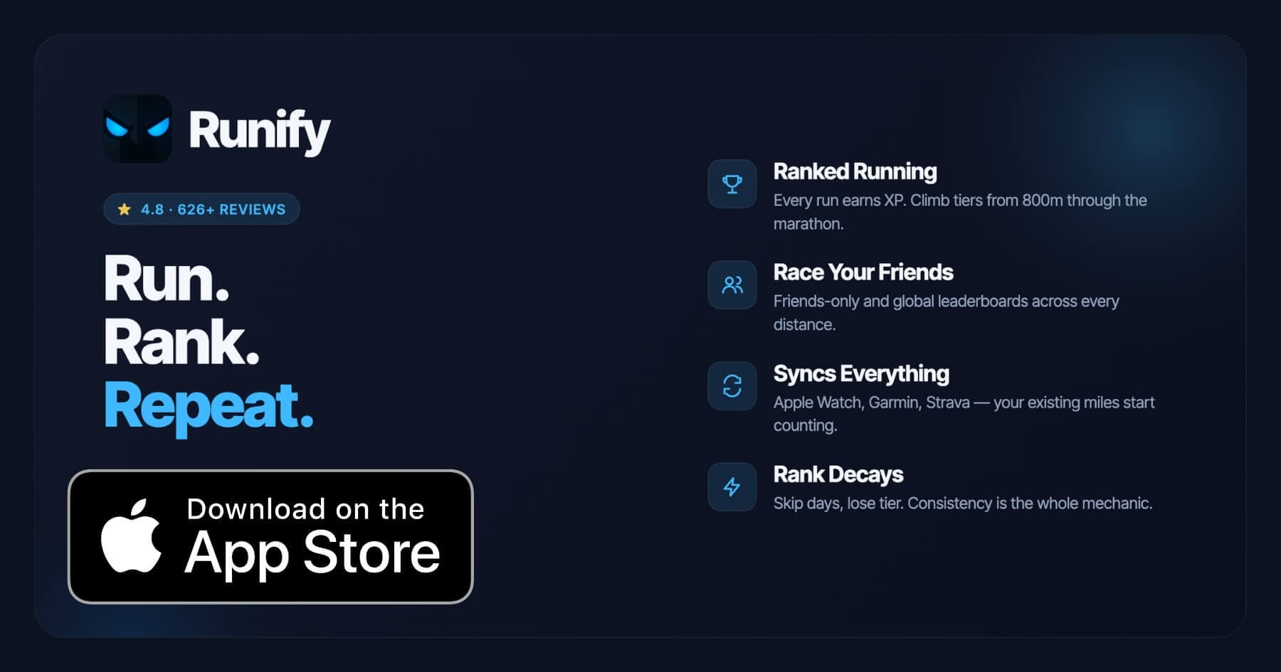
If you already track with Apple Watch or a Garmin, your trail runs sync into Runify automatically. Every mile counts toward your overall Runify Rank and distance-specific leaderboards across 5K, 10K, half marathon, and marathon. Runify has logged 100,000+ runs and 500,000+ miles from the community, with a 4.8-star App Store rating from 626+ reviews.
Trail runners who train hard on technical terrain often find road runners get all the social credit. Runify's leaderboards treat a 10K trail run the same as a 10K on pavement: your time and your rank. That matters when you want to know where you stand.
See our best running apps for iPhone 2026 guide for more context on how Runify fits into a broader iPhone running setup.
Key Features
- Ranked Progression System: XP from every synced or tracked run, post-run rank-up reveals, and rank decay for inactivity.
- Friends and Global Leaderboards: Race your friends or the world across 800m, 1K, 5K, 10K, half, and marathon distances.
- Apple Watch, Garmin, and Strava Sync: Bulk-import past runs and auto-detect new ones. Your existing watch keeps working.
- In-App GPS Tracking: Live GPS with time, distance, pace, and route. 99.5% GPS routing accuracy.
- Shareable Run Recaps: Stylized templates with one-tap Instagram Stories sharing and rank cards.
- Streaks and Smart Reminders: Streak tracking, run celebrations, and motivational push notifications.
Pricing
Monthly: $4.99/month (no free trial). Annual: $39.99/year with a 7-day free trial. Pro unlocks distance-specific leaderboards and expanded profile and history views.
Best For
- Trail runners who want their miles to count toward a competitive rank
- Apple Watch, Garmin, or Strava users who want a leaderboard layer on top of their existing tracking
- Runners motivated by consistency, streaks, and visible progress against friends
Limitations
- iOS only. No Android version available today.
- No offline maps, route discovery, elevation profiles, or trail-specific navigation.
- Distance-specific leaderboards require a Pro subscription.
6. Strava - Best for Broad Trail Activity Tracking
Strava is the social network most trail runners already use. Its route builder now includes surface type, elevation preference, and trail difficulty for subscribers, and the community heatmaps help you find where other runners go. It is not a backcountry navigation tool, but for tracking trail runs, logging kudos, and sharing segments, Strava still has the largest active running community.
FATMAP, which Strava acquired for its 3D mountain mapping, has since been deactivated. Strava's native trail tools are the current replacement, and they cover most trail runners' basic needs.
Key Features
- Route builder with surface type, elevation control, and trail difficulty (subscription required)
- Community heatmaps showing where runners actually run
- Trail activity tracking with segment comparisons and personal records
- Social feed, kudos, and clubs for connecting with other trail runners
- Integration with Garmin, Apple Watch, and most major wearables
Pricing
Free tier for basic tracking. Strava subscription: $7.99/month or $79.99/year. Subscription unlocks route builder, training analysis, and advanced trail features.
Best For
- Trail runners who are already embedded in the Strava community
- Runners who want segment comparison and personal records on trail routes
- Anyone who combines road and trail running in one platform
Limitations
- Not a dedicated offline navigation tool; don't rely on it in remote terrain
- Premium price is high relative to trail-specific apps
- Route builder is functional but trails-first apps outperform it for planning
How to Choose the Best Trail Running App
Trail running needs differ by the terrain you run, how remote you go, and what you want after you finish. Here are the five factors that matter most.
-
Offline Maps: If you run in areas without cell coverage, this is non-negotiable. Komoot, Gaia GPS, AllTrails Plus, and onX Backcountry all offer offline maps. Strava and Runify do not. Download your maps before you leave home.
-
Route Planning Depth: Some apps just show you a trail. Others give you elevation profiles, surface type, and expert route notes. Komoot and onX Backcountry offer the deepest route planning. AllTrails gives you the widest trail database.
-
Community Conditions: Trail conditions change fast. Recent user reviews tell you whether the creek crossing is passable or the trail is washed out. AllTrails has the strongest live-conditions community data.
-
Post-Run Motivation: Navigation gets you around the loop. But motivation gets you back out next week. If you want leaderboards, rank progression, and friends to compete against, Runify layers those on top of your existing tracking without replacing your trail navigation app.
-
Apple Watch and Garmin Compatibility: Most trail runners already wear a GPS watch. Check that your chosen app syncs with your watch. Runify pulls runs from Apple Watch via HealthKit and from Garmin directly, so you don't need to change how you track.
Frequently Asked Questions
What is the best app for trail running in 2026?
Komoot is the best all-around trail running app in 2026 for route planning, offline navigation, and community trail knowledge. AllTrails is the best option for finding new trails and reading recent conditions. Gaia GPS is the top pick for true backcountry navigation where precision matters most. After your run, Runify converts your trail miles into XP and leaderboard rank, syncing automatically from Apple Watch or Garmin. The best setup for most trail runners is a trail-native navigation app paired with Runify for post-run tracking and competition.
Is there a free app for trail running?
AllTrails, Komoot, and Gaia GPS all offer free tiers with basic trail browsing and GPS tracking. AllTrails free lets you follow trails and see user reviews, but offline maps require Plus at $35.99/year. Komoot free includes one region and unlimited route planning in that area. Gaia GPS free covers limited map sources. Runify offers a 7-day free trial on the annual plan at $39.99/year, which is the best way to try the leaderboard and rank system before committing.
Can I sync my Apple Watch or Garmin trail runs with Runify?
Yes. Runify imports runs from Apple Watch via HealthKit, from Garmin Connect directly, and from Strava. When you finish a trail run on your watch, it syncs into Runify and immediately counts toward your XP, overall Runify Rank, and distance-specific leaderboards. Bulk import pulls in your past runs too, so your history is not lost. You do not need to change how you record your trail runs. Your existing watch keeps working exactly as it does today.
What features should I look for in a trail running app?
The most important features for trail running apps are: offline maps that download before you leave cell coverage, elevation profiles to preview climbs and judge effort, turn-by-turn navigation that works on unmarked trails, community trail conditions so you know what to expect, and GPS that holds signal through tree cover. For post-run use, look for leaderboards, syncing with your GPS watch, and progress tracking. No single app covers every layer, so most serious trail runners use one navigation app and one tracking or social app together.
Do I need a separate trail app if I already use Strava or Apple Watch?
For road running, your existing setup is fine. For trail running in remote terrain, you need dedicated offline maps. Strava's route builder helps with planning but is not reliable as a primary navigation tool without signal. Apple Watch records your run accurately but does not show you the trail or warn you when you go off-route. Apps like Komoot, AllTrails Plus, or Gaia GPS fill that offline navigation gap. Runify works alongside any tracker: it receives your trail run data after the fact and adds the competitive layer your current setup is missing.
Final Verdict
Trail running is a different sport from road running, and it needs a different app stack. The navigation layer is non-negotiable: download offline maps with Komoot, AllTrails Plus, or Gaia GPS before every run in remote terrain. Which one you pick depends on whether you need community conditions (AllTrails), deep route planning (Komoot), or serious backcountry precision (Gaia GPS).
The tracking and competitive layer is where Runify fits. It does not replace a trail navigation app, and it does not try to. It takes the runs you log on your Apple Watch or Garmin and turns them into rank, XP, and leaderboard competition with friends and the broader running community. Trail miles count the same as road miles on Runify's distance boards.
Use a trail-native app to find and navigate your route. Use Runify to make every mile count when you get back.
Ready to add a competitive edge to your trail runs? Download Runify on the App Store and your next trail run earns XP the moment it syncs.

4.8 on the App Store · Built for iOS